Wild Western Creek Falls
Our adventure into the wilderness today, took us to the tiny township of Western Creek, where we explored the Western Creek loop track and beyond, taking us up the side of Ironstone Mountain in the Great Western Tiers.
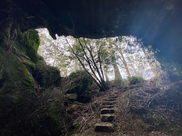
This track was rugged with an uneven floor consisting of many rocks, fallen trees and tree roots. There was plenty to look at along the way with multitude of flora consisting of many layers of of green. I was surprised at the amount of native shrubs that had the little red berries on them. This forest canopy was full of them showcasing the red on a green forest canvas.
The first 45 minutes of this walk was strenuous, walking uphill, testing the lungs out. Occasionally the forest would open up to let the clear blue sky reveal itself, with it’s soft white clouds.
After walking for a good half an hour we came out on the side of Ironstone Mountain on a rock face consisting of many boulders. The view from here was spectacular and a highlight of this walk. We could see the surrounding mountain sides with its vertical rocks face edging the horizon. Looking out North we could see the landscape back towards Chudleigh.
After taking in the spectacular view we progressed in search of the Western Creek Falls. Unknown to us we walked past the loop where it heads back. Following the information from the Tasmanian Waterfalls site, it says: ‘After approximately 45 minutes of steady walking, the track branches southwards towards the waterfall, with the alternative branch circling back towards the car park. Continue climbing uphill towards the waterfall, and another 20 minutes of hiking, you should reach the waterfall. The walking track crosses above the bottom tier of the waterfall giving you a close up view of the top pier.’ We didn’t see where the track branches southwards and so without knowing we made it to Western Creek Falls where we took some photos and continued onwards uphill.
The Western Creek Falls had the most transparent water running down the mountain rock face into a pool at the bottom. There were two tiers to this waterfall. We only captured the view from the second tier as the track down to the base looked quite dangerous.
We then continued uphill in search for what we thought was the turnoff. We passed more spectacular views with the rock face acting as a background canvas. After a further 20 minutes we climbed some pretty big boulders giving us a great vantage point to view the surrounding scenery.
After stopping for a drink of water we took our phones out and looked up LISTmap as we had walked well past the time suggested. We then realised we had walked past the loop further up the Western Creek track and if we had of kept walking we would have come to Whiteleys Hut. So back we tracked past the waterfall in search for the latter half of the loop. We walked back to where the track comes out into the rocky boulders on the side of Ironstone Mountain. It was here we discovered behind a tree where the track does loop. The signage was terrible as the pink ribbon was behind the tree and we walked straight past without knowing. So I took three photos so you can identify where the loop ends and the track continues uphill to the waterfall.
After getting back on to the Western Creek Loop we headed homeward bound back to the car park. What should have taken two hours ended up taking like three and a half hours. But it was a thoroughly enjoyable walk. I do wonder how close to the hit we actually were.


Comments
Post a Comment